2015
SD8183 : Jam Sike
taken 9 years ago, 4 km NE of Far Gearstones, North Yorkshire, England
This is 1 of 2 images, with title Jam Sike in this square
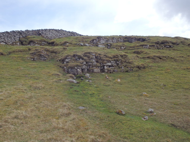
Jam Sike
Looks like the source of the River Ribble. The Ribble Way starts here.
 Map © Crown Copyright")
TIP: Click the map for more Large scale mapping
- Grid Square
- SD8183, 26 images (more nearby 🔍)
- Photographer
- Michael Graham (more nearby)
- Date Taken
- Friday, 8 May, 2015 (more nearby)
- Submitted
- Tuesday, 12 May, 2015
- Subject Location
-
OSGB36:
 SD 8137 8308 [10m precision]
WGS84: 54:14.5841N 2:17.2423W - Camera Location
-
OSGB36: SD 8132 8313
- View Direction
- Southeast (about 135 degrees)