2015
NC8238 : The Allt Airigh-dhamh, Sutherland
taken 9 years ago, near to Meall a' Bhuirich [hill or Mountain], Highland, Great Britain
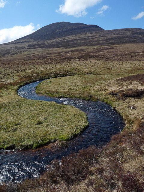
The Allt Airigh-dhamh, Sutherland
Looking towards Ben Griam Mòr.
 Map © Crown Copyright")
TIP: Click the map for more Large scale mapping
- Grid Square
- NC8238 (more nearby 🔍)
- Photographer
- Claire Pegrum (more nearby)
- Date Taken
- Saturday, 9 May, 2015 (more nearby)
- Submitted
- Tuesday, 12 May, 2015
- Subject Location
-
OSGB36:
 NC 82329 38806 [1m precision]
WGS84: 58:19.3185N 4:0.6375W - Camera Location
-
OSGB36: NC 82329 38806
- View Direction
- WEST (about 270 degrees)