2015
SD7374 : Crag, Ingleborough
taken 9 years ago, 3 km from Chapel-le-Dale, North Yorkshire, England
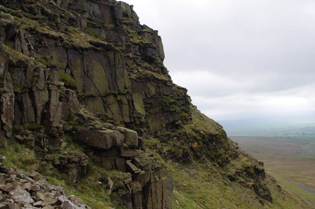
Crag, Ingleborough
The summit cap of Ingleborough is formed of millstone grit.
This is a layer of sandstone below the summit.
This is a layer of sandstone below the summit.
 Map © Crown Copyright")
TIP: Click the map for more Large scale mapping
- Grid Square
- SD7374, 45 images (more nearby 🔍)
- Photographer
- Ian Taylor (more nearby)
- Date Taken
- Sunday, 10 May, 2015 (more nearby)
- Submitted
- Wednesday, 13 May, 2015
- Subject Location
-
OSGB36:
 SD 7377 7451 [10m precision]
WGS84: 54:9.9429N 2:24.1943W - Camera Location
-
OSGB36: SD 7379 7453
- View Direction
- South-southwest (about 202 degrees)