2015
NJ3864 : Tynet Burn
taken 9 years ago, near to Portgordon, Moray, Scotland
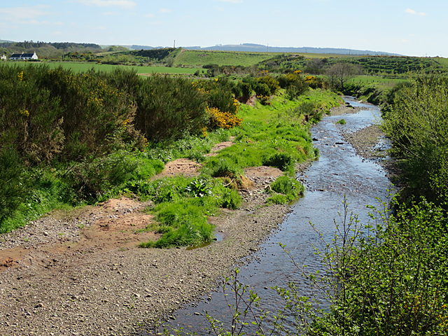
Tynet Burn
Looking upstream from the site of the former railway bridge. Note the flat land surface, and the raised beach in the background.
 Map © Crown Copyright")
TIP: Click the map for more Large scale mapping
- Grid Square
- NJ3864, 66 images (more nearby 🔍)
- Photographer
- Anne Burgess (more nearby)
- Date Taken
- Thursday, 14 May, 2015 (more nearby)
- Submitted
- Sunday, 17 May, 2015
- Subject Location
-
OSGB36:
 NJ 3807 6407 [10m precision]
WGS84: 57:39.7344N 3:2.3773W - Camera Location
-
OSGB36: NJ 3808 6412
- View Direction
- South-southwest (about 202 degrees)