2015
NS3395 : Loch Lomond from Beinn Dubh
taken 9 years ago, near to Edentaggart, Argyll And Bute, Scotland
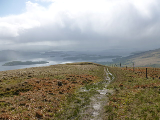
Loch Lomond from Beinn Dubh
Some of the loch's islands are visible through the haze as a squally shower passes through.
 Map © Crown Copyright")
TIP: Click the map for more Large scale mapping
- Grid Square
- NS3395, 9 images (more nearby 🔍)
- Photographer
- Alan O'Dowd (more nearby)
- Date Taken
- Saturday, 16 May, 2015 (more nearby)
- Submitted
- Monday, 18 May, 2015
- Subject Location
-
OSGB36:
 NS 3391 9514 [10m precision]
WGS84: 56:7.2014N 4:40.3938W - Camera Location
-
OSGB36: NS 3387 9516
- View Direction
- Southeast (about 135 degrees)