2014
SX2755 : Converted barn, Bucklawren
taken 10 years ago, near to St Martin, Cornwall, England
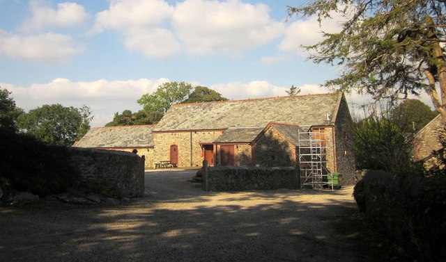
Converted barn, Bucklawren
Formerly the Granary restaurant, but that now seems to have closed.
 Map © Crown Copyright")
TIP: Click the map for more Large scale mapping
- Grid Square
- SX2755, 11 images (more nearby 🔍)
- Photographer
- Derek Harper (more nearby)
- Date Taken
- Wednesday, 10 September, 2014 (more nearby)
- Submitted
- Monday, 18 May, 2015
- Subject Location
-
OSGB36:
 SX 2778 5545 [10m precision]
WGS84: 50:22.4205N 4:25.3977W - Camera Location
-
OSGB36: SX 2775 5540
- View Direction
- North-northeast (about 22 degrees)