2015
TQ8754 : At the top of the scarp slope above Harrietsham
taken 9 years ago, near to Harrietsham, Kent, England
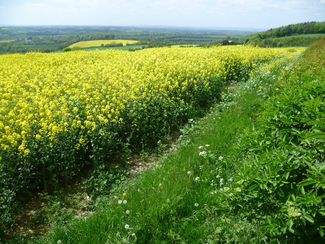
At the top of the scarp slope above Harrietsham
There are superb views from the top of the scarp slope here above Harrietsham. The Pilgrim's Way and North Downs Way run at the bottom of the slope. Mile Hill with its wood can be seen on the left.
 Map © Crown Copyright")
TIP: Click the map for more Large scale mapping
- Grid Square
- TQ8754, 24 images (more nearby 🔍)
- Photographer
- Marathon (more nearby)
- Date Taken
- Saturday, 16 May, 2015 (more nearby)
- Submitted
- Wednesday, 20 May, 2015
- Subject Location
-
OSGB36:
 TQ 8704 5413 [10m precision]
WGS84: 51:15.3391N 0:40.7428E - Camera Location
-
OSGB36: TQ 8712 5412
- View Direction
- WEST (about 270 degrees)