2015
NG0284 : The linear crofting community of Strond
taken 9 years ago, near to Carminish, Isle of Lewis And Harris, Na h-Eileanan an Iar, Scotland
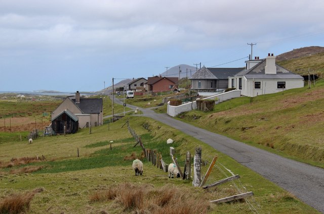
The linear crofting community of Strond
 Map © Crown Copyright")
TIP: Click the map for more Large scale mapping
- Grid Square
- NG0284, 16 images (more nearby 🔍)
- Photographer
- Alan Reid (more nearby)
- Date Taken
- Sunday, 17 May, 2015 (more nearby)
- Submitted
- Friday, 22 May, 2015
- Subject Location
-
OSGB36:
 NG 0281 8433 [10m precision]
WGS84: 57:44.9939N 6:59.8378W - Camera Location
-
OSGB36: NG 0288 8424
- View Direction
- Northwest (about 315 degrees)