2015
SX5263 : Roborough Down
taken 9 years ago, near to Bickleigh, Devon, England
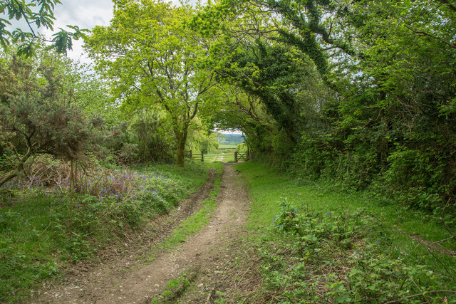
Roborough Down
At the south-east tip of Roborough Down a track leads to Hele Lane.
 Map © Crown Copyright")
TIP: Click the map for more Large scale mapping
- Grid Square
- SX5263, 29 images (more nearby 🔍)
- Photographer
- Guy Wareham (more nearby)
- Date Taken
- Saturday, 23 May, 2015 (more nearby)
- Submitted
- Sunday, 24 May, 2015
- Subject Location
-
OSGB36:
 SX 5251 6389 [10m precision]
WGS84: 50:27.3751N 4:4.7459W - Camera Location
-
OSGB36: SX 5251 6395
- View Direction
- SOUTH (about 180 degrees)