2015
TR0065 : Dans Dock, Uplees
taken 9 years ago, near to Uplees, Kent, England
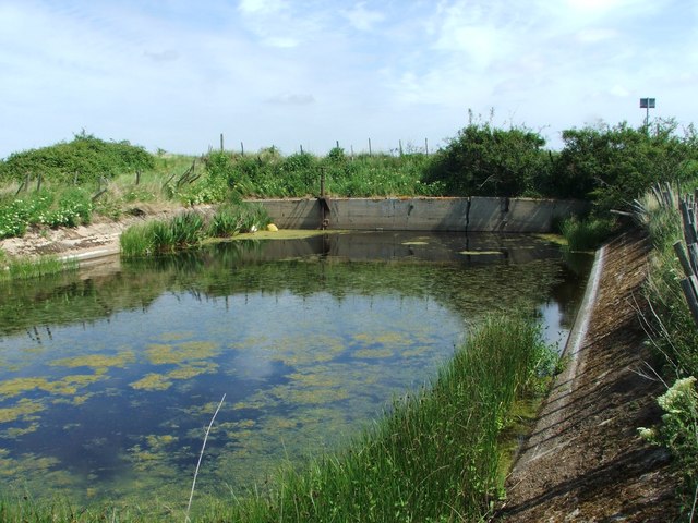
Dans Dock, Uplees
Formerly used to load bricks and gunpowder onto ships in the Swale.
 Map © Crown Copyright")
TIP: Click the map for more Large scale mapping
- Grid Square
- TR0065, 68 images (more nearby 🔍)
- Photographer
- Chris Whippet (more nearby)
- Date Taken
- Sunday, 24 May, 2015 (more nearby)
- Submitted
- Sunday, 24 May, 2015
- Subject Location
-
OSGB36:
 TR 0052 6524 [10m precision]
WGS84: 51:21.0508N 0:52.6927E - Camera Location
-
OSGB36: TR 0052 6524
- View Direction
- NORTH (about 0 degrees)