2015
TQ4771 : Fallen tree on the Loop
taken 9 years ago, near to North Cray, Bexley, England
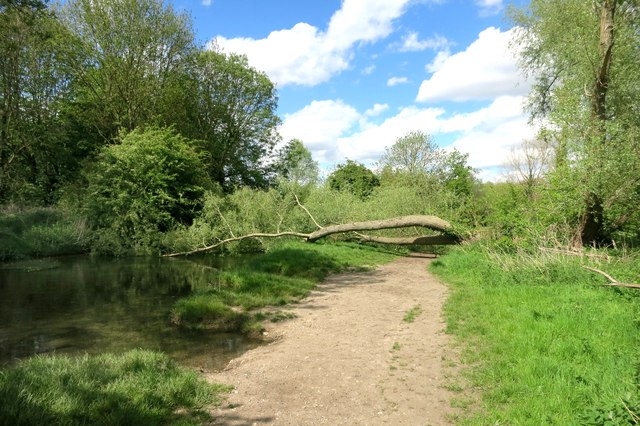
Fallen tree on the Loop
The London Loop path runs beside the River Cray through Foots Cray Meadows.
A short diversion needed here.
A short diversion needed here.
 Map © Crown Copyright")
TIP: Click the map for more Large scale mapping
- Grid Square
- TQ4771, 86 images (more nearby 🔍)
- Photographer
- Des Blenkinsopp (more nearby)
- Date Taken
- Tuesday, 12 May, 2015 (more nearby)
- Submitted
- Tuesday, 26 May, 2015
- Subject Location
-
OSGB36:
 TQ 4793 7162 [10m precision]
WGS84: 51:25.4574N 0:7.5779E - Camera Location
-
OSGB36: TQ 4791 7159
- View Direction
- North-northeast (about 22 degrees)