2005
NT1838 : Kerr's Knowe
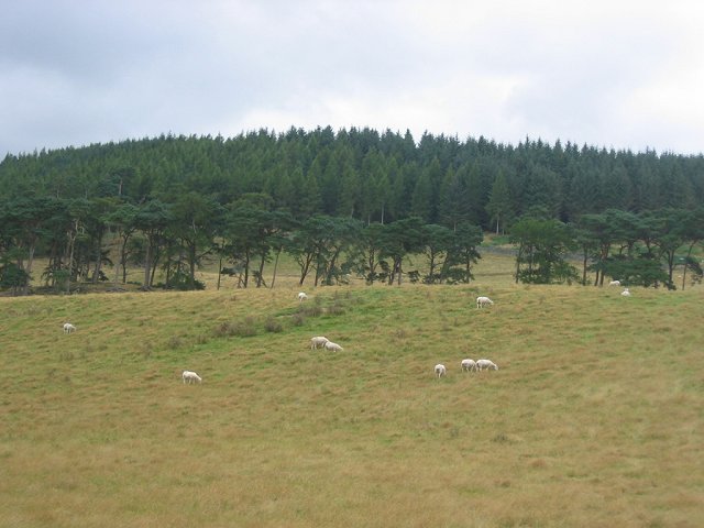
taken 19 years ago, near to Stobo, Scottish Borders, Scotland
This is 1 of 3 images, with title Kerr's Knowe in this square
Kerr's Knowe
Wooded hill, with fort, above Stobo, taking in the west half of the square, the rest is farmland, cattle for beef production, and sheep.
 Map © Crown Copyright")
TIP: Click the map for more Large scale mapping
- Grid Square
- NT1838, 11 images (more nearby 🔍)
- Photographer
- Richard Webb (more nearby)
- Date Taken
- Friday, 26 August, 2005 (more nearby)
- Submitted
- Monday, 29 August, 2005
- Subject Location
-
OSGB36:
 NT 184 384 [100m precision]
WGS84: 55:37.9374N 3:17.8591W