2015
NZ1606 : Footbridge over Hartforth Beck
taken 9 years ago, near to Whashton, North Yorkshire, England
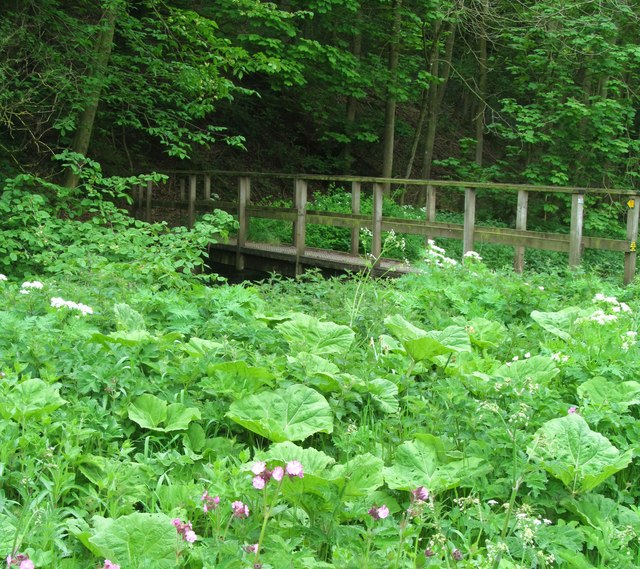
Footbridge over Hartforth Beck
Luxuriant plant growth makes the bridge hard to photograph. Just downstream from Hartforth Mill, now a private house, but marked on old OS maps as a corn mill, and later as a saw mill.
 Map © Crown Copyright")
TIP: Click the map for more Large scale mapping
- Grid Square
- NZ1606, 22 images (more nearby 🔍)
- Photographer
- Gordon Hatton (more nearby)
- Date Taken
- Monday, 25 May, 2015 (more nearby)
- Submitted
- Wednesday, 27 May, 2015
- Subject Location
-
OSGB36:
 NZ 1610 0649 [10m precision]
WGS84: 54:27.2130N 1:45.1916W - Camera Location
-
OSGB36: NZ 1612 0651
- View Direction
- Southwest (about 225 degrees)