2015
HP6103 : Burral from Vord Hill
taken 9 years ago, 3 km from Caldback, Unst, Shetland Islands, Scotland
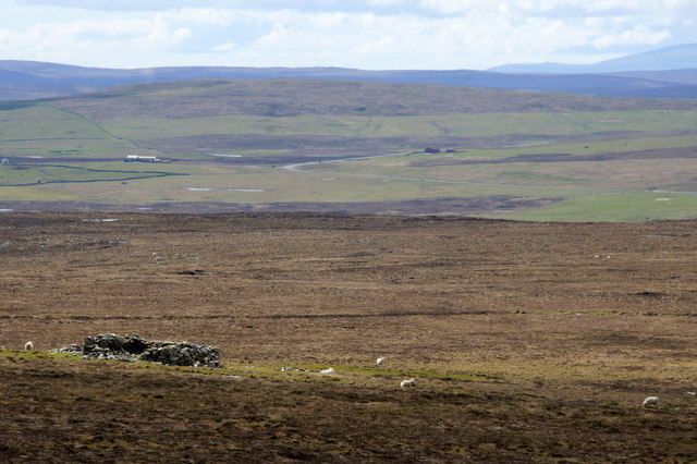
Burral from Vord Hill
The remains of the dyke around the house can still be discerned and is marked on the 1:25000 map.
 Map © Crown Copyright")
TIP: Click the map for more Large scale mapping
- Grid Square
- HP6103, 18 images (more nearby 🔍)
- Photographer
- Mike Pennington (more nearby)
- Date Taken
- Saturday, 30 May, 2015 (more nearby)
- Submitted
- Sunday, 31 May, 2015
- Subject Location
-
OSGB36:
 HP 6109 0374 [10m precision]
WGS84: 60:42.7282N 0:52.9471W - Camera Location
-
OSGB36: HP 6131 0397
- View Direction
- Southwest (about 225 degrees)