2015
TQ0714 : Footpath to Kithurst Lane
taken 9 years ago, near to Storrington, West Sussex, England
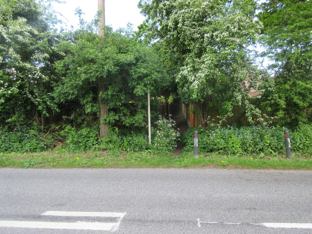
Footpath to Kithurst Lane
Public footpath 2661 from Amberley Road (B2139).
 Map © Crown Copyright")
TIP: Click the map for more Large scale mapping
- Grid Square
- TQ0714, 42 images (more nearby 🔍)
- Photographer
- Peter Holmes (more nearby)
- Date Taken
- Tuesday, 12 May, 2015 (more nearby)
- Submitted
- Monday, 8 June, 2015
- Subject Location
-
OSGB36:
 TQ 078 141 [100m precision]
WGS84: 50:55.0258N 0:27.9931W - Camera Location
-
OSGB36: TQ 078 142
- View Direction
- South-southeast (about 157 degrees)