2015
TQ6399 : Public footpath at Fryerning, Essex
taken 9 years ago, near to Fryerning, Essex, England
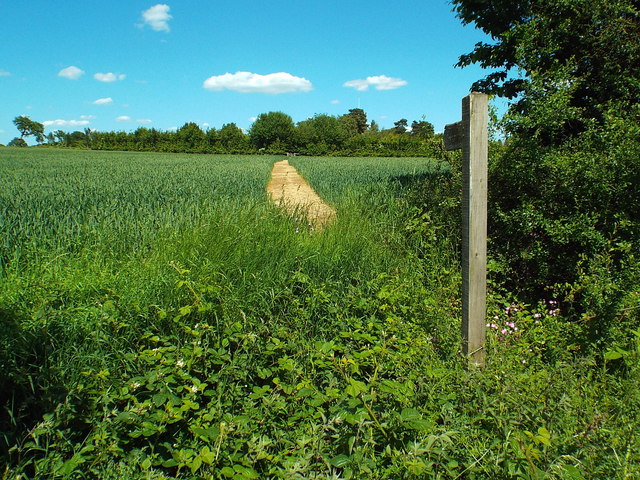
Public footpath at Fryerning, Essex
A public footpath across a field at Fryerning, in Essex.
 Map © Crown Copyright")
TIP: Click the map for more Large scale mapping
- Grid Square
- TQ6399, 17 images (more nearby 🔍)
- Photographer
- Malc McDonald (more nearby)
- Date Taken
- Sunday, 7 June, 2015 (more nearby)
- Submitted
- Monday, 8 June, 2015
- Subject Location
-
OSGB36:
 TQ 6367 9995 [10m precision]
WGS84: 51:40.4686N 0:21.9396E - Camera Location
-
OSGB36: TQ 6367 9994
- View Direction
- Northeast (about 45 degrees)