2015
SU4490 : The bridleway to Ardington Lane
taken 9 years ago, near to West Hendred, Oxfordshire, England
This is 1 of 6 images, with title The bridleway to Ardington Lane in this square
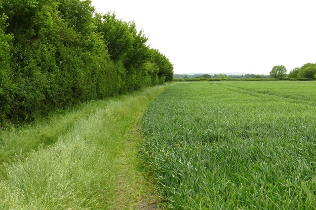
The bridleway to Ardington Lane
 Map © Crown Copyright")
TIP: Click the map for more Large scale mapping
- Grid Square
- SU4490, 20 images (more nearby 🔍)
- Photographer
- Steve Daniels (more nearby)
- Date Taken
- Tuesday, 9 June, 2015 (more nearby)
- Submitted
- Sunday, 14 June, 2015
- Subject Location
-
OSGB36:
 SU 4455 9093 [10m precision]
WGS84: 51:36.9265N 1:21.4783W - Camera Location
-
OSGB36: SU 4457 9094
- View Direction
- West-southwest (about 247 degrees)