2015
TL2660 : Crop field near Eltisley
taken 9 years ago, near to Eltisley, Cambridgeshire, England
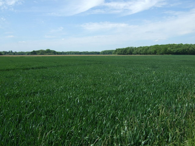
Crop field near Eltisley
Looking from the bridleway towards Pillar Plantation.
 Map © Crown Copyright")
TIP: Click the map for more Large scale mapping
- Grid Square
- TL2660, 12 images (more nearby 🔍)
- Photographer
- JThomas (more nearby)
- Date Taken
- Thursday, 4 June, 2015 (more nearby)
- Submitted
- Thursday, 18 June, 2015
- Subject Location
-
OSGB36:
 TL 2673 6008 [10m precision]
WGS84: 52:13.4612N 0:8.7653W - Camera Location
-
OSGB36: TL 26863 60009
- View Direction
- West-northwest (about 292 degrees)