2015
SE0600 : The Pennine Way near Black Tor
taken 9 years ago, near to Black Tor [other Features], Derbyshire, Great Britain
This is 1 of 3 images, with title The Pennine Way near Black Tor in this square
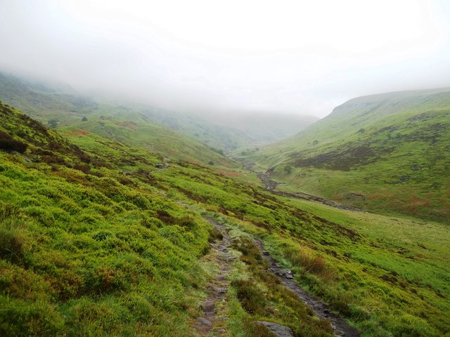
The Pennine Way near Black Tor
Pictured on a drizzly and misty Saturday in late June.
 Map © Crown Copyright")
TIP: Click the map for more Large scale mapping
- Grid Square
- SE0600, 42 images (more nearby 🔍)
- Photographer
- Jonathan Clitheroe (more nearby)
- Date Taken
- Saturday, 20 June, 2015 (more nearby)
- Submitted
- Sunday, 21 June, 2015
- Subject Location
-
OSGB36:
 SE 0644 0019 [10m precision]
WGS84: 53:29.9023N 1:54.2633W - Camera Location
-
OSGB36: SE 0651 0010
- View Direction
- Northwest (about 315 degrees)