2015
SK2369 : Moatless Plantation
taken 9 years ago, near to Bakewell, Derbyshire, England
This is 1 of 2 images, with title Moatless Plantation in this square
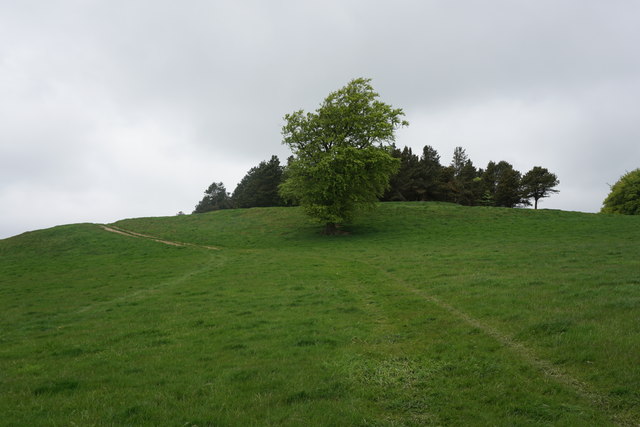
Moatless Plantation
A hilltop site, but the Iron Age fort was down the slope to the left.
 Map © Crown Copyright")
TIP: Click the map for more Large scale mapping
- Grid Square
- SK2369, 50 images (more nearby 🔍)
- Photographer
- Bill Boaden (more nearby)
- Date Taken
- Friday, 22 May, 2015 (more nearby)
- Submitted
- Monday, 22 June, 2015
- Subject Location
-
OSGB36:
 SK 2317 6906 [10m precision]
WGS84: 53:13.0856N 1:39.2678W - Camera Location
-
OSGB36: SK 2322 6900
- View Direction
- Northwest (about 315 degrees)