2015
SO5974 : Titrail Lane
taken 9 years ago, near to Knowle, Shropshire, England
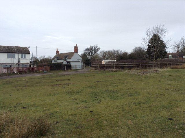
Titrail Lane
Titrail Lane is a track leading off the common and on to Tenbury Road. It is a public bridleway 0514/UN11/1. Just to the right of the gate is the SO5974 : Clee Hill Commons Association notice.
 Map © Crown Copyright")
TIP: Click the map for more Large scale mapping
- Grid Square
- SO5974, 50 images (more nearby 🔍)
- Photographer
- Hugh Craddock (more nearby)
- Date Taken
- Wednesday, 11 March, 2015 (more nearby)
- Submitted
- Sunday, 28 June, 2015
- Subject Location
-
OSGB36:
 SO 5959 7461 [10m precision]
WGS84: 52:22.0823N 2:35.6953W - Camera Location
-
OSGB36: SO 5961 7460
- View Direction
- West-northwest (about 292 degrees)