2015
TQ2475 : Putney from the air
taken 9 years ago, near to Fulham, Hammersmith And Fulham, England
This is 1 of 2 images, with title Putney from the air in this square
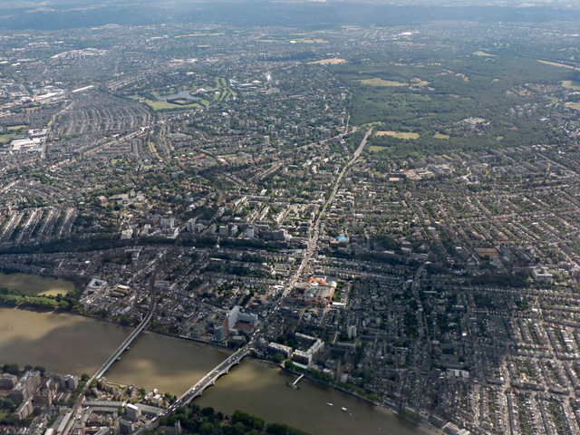
Putney from the air
The Putney road and rail bridges are in the foreground, Wimbledon Common can be seen in the right distance.
 Map © Crown Copyright")
TIP: Click the map for more Large scale mapping
- Grid Square
- TQ2475, 808 images (more nearby 🔍)
- Photographer
- Thomas Nugent (more nearby)
- Date Taken
- Monday, 22 June, 2015 (more nearby)
- Submitted
- Sunday, 28 June, 2015
- Subject Location
-
OSGB36:
 TQ 240 756 [100m precision]
WGS84: 51:27.9686N 0:12.9340W - View Direction
- SOUTH (about 180 degrees)