2015
J3325 : The south-eastern spur of Slievelamagan
taken 9 years ago, 7 km NW of Annalong, Co Down, Northern Ireland
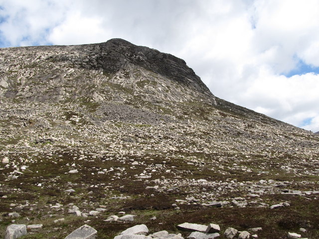
The south-eastern spur of Slievelamagan
Loading map... (JavaScript required)
- Grid Square
- J3325, 99 images (more nearby 🔍)
- Photographer
- Eric Jones (more nearby)
- Date Taken
- Sunday, 7 June, 2015 (more nearby)
- Submitted
- Monday, 29 June, 2015
- Subject Location
-
Irish:
 J 331 255 [100m precision]
WGS84: 54:9.7144N 5:57.7465W - Camera Location
-
Irish: J 331 252
- View Direction
- NORTH (about 0 degrees)