2015
SD9155 : The end of Great Haw Hill Drumlin
taken 9 years ago, near to Coniston Cold, North Yorkshire, England
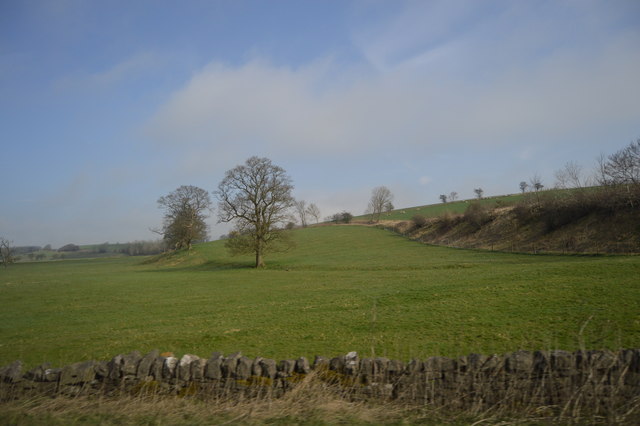
The end of Great Haw Hill Drumlin
A drumlin, is an elongated hill in the shape of a half-buried egg formed by glacial ice acting on underlying unconsolidated till or ground moraine. They form during the decaying stages of a glacier.
They tend to occur in swarms and are often referred to as "basket of eggs topography".
See other images of Drumlins
They tend to occur in swarms and are often referred to as "basket of eggs topography".
See other images of Drumlins
 Map © Crown Copyright")
TIP: Click the map for more Large scale mapping
- Grid Square
- SD9155, 46 images (more nearby 🔍)
- Photographer
- N Chadwick (more nearby)
- Date Taken
- Tuesday, 7 April, 2015 (more nearby)
- Submitted
- Wednesday, 1 July, 2015
- Subject Location
-
OSGB36:
 SD 9120 5509 [10m precision]
WGS84: 53:59.5065N 2:8.1425W - Camera Location
-
OSGB36: SD 9109 5501
- View Direction
- Northeast (about 45 degrees)