2014
SH6081 : The lane at Mariandyrys
taken 10 years ago, near to Llangoed, Isle of Anglesey/Sir Ynys Mon, Wales
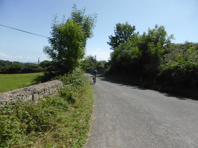
The lane at Mariandyrys
 Map © Crown Copyright")
TIP: Click the map for more Large scale mapping
- Grid Square
- SH6081, 31 images (more nearby 🔍)
- Photographer
- David Medcalf (more nearby)
- Date Taken
- Tuesday, 22 July, 2014 (more nearby)
- Submitted
- Wednesday, 1 July, 2015
- Subject Location
-
OSGB36:
 SH 6040 8117 [10m precision]
WGS84: 53:18.5410N 4:5.8007W - Camera Location
-
OSGB36: SH 6033 8123
- View Direction
- Southeast (about 135 degrees)