2015
NT5134 : Southern Upland Way, Galafoot
taken 9 years ago, near to Tweedbank, Scottish Borders, Scotland
This is 1 of 2 images, with title starting with Southern Upland Way in this square
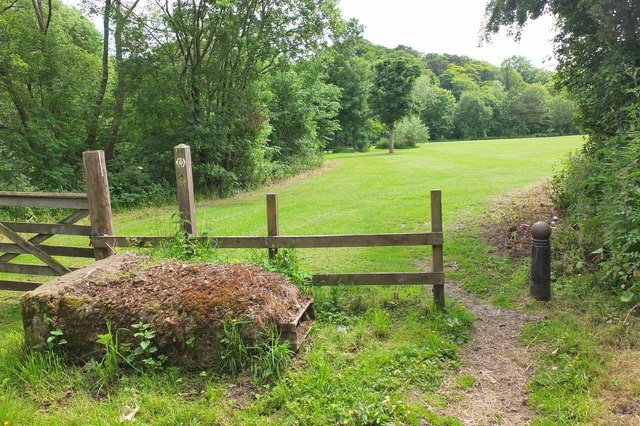
Southern Upland Way, Galafoot
The Way crosses this park-like green space then passes under the Galafoot Bridge.
 Map © Crown Copyright")
TIP: Click the map for more Large scale mapping
- Grid Square
- NT5134, 118 images (more nearby 🔍)
- Photographer
- Jim Barton (more nearby)
- Date Taken
- Tuesday, 30 June, 2015 (more nearby)
- Submitted
- Wednesday, 1 July, 2015
- Subject Location
-
OSGB36:
 NT 5107 3491 [10m precision]
WGS84: 55:36.3196N 2:46.6914W - Camera Location
-
OSGB36: NT 5109 3493
- View Direction
- Southwest (about 225 degrees)