2015
SU0227 : Dry valley, Knapp Down
taken 9 years ago, near to Fifield Bavant, Wiltshire, England
This is 1 of 2 images, with title Dry valley, Knapp Down in this square
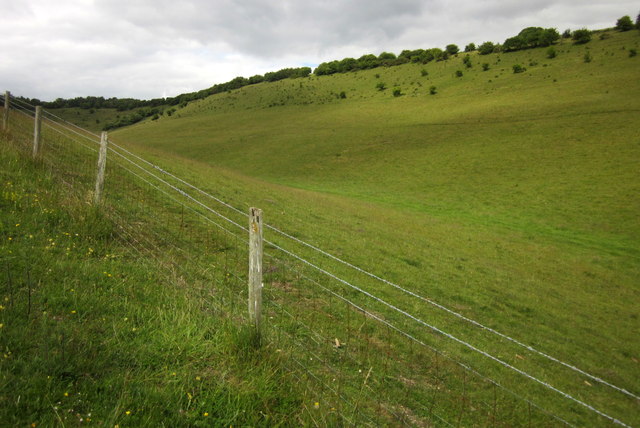
Dry valley, Knapp Down
Part of the access land in three adjacent dry valleys north-west of Broad Chalke.
 Map © Crown Copyright")
TIP: Click the map for more Large scale mapping
- Grid Square
- SU0227, 13 images (more nearby 🔍)
- Photographer
- Derek Harper (more nearby)
- Date Taken
- Saturday, 27 June, 2015 (more nearby)
- Submitted
- Thursday, 2 July, 2015
- Subject Location
-
OSGB36:
 SU 026 271 [100m precision]
WGS84: 51:2.5949N 1:57.8574W - Camera Location
-
OSGB36: SU 0255 2701
- View Direction
- Northeast (about 45 degrees)