2015
NT9931 : Till Floodplain
taken 9 years ago, near to Doddington, Northumberland, England
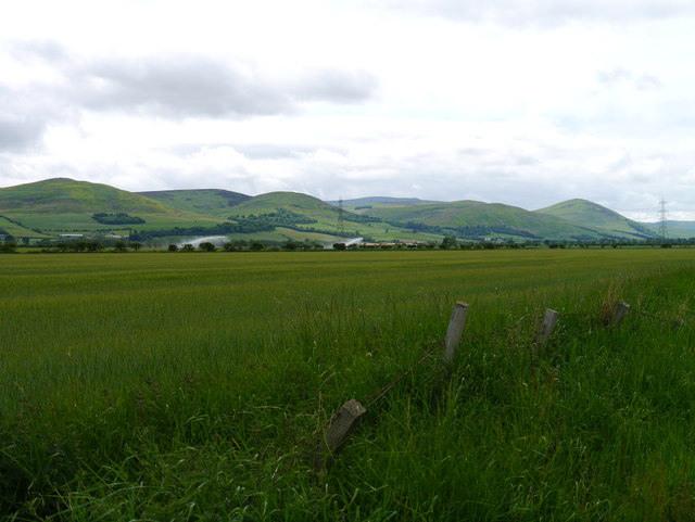
Till Floodplain
Fertile arable land below the eastern flank of the Cheviot Hills.
 Map © Crown Copyright")
TIP: Click the map for more Large scale mapping
- Grid Square
- NT9931, 40 images (more nearby 🔍)
- Photographer
- James T M Towill (more nearby)
- Date Taken
- Saturday, 20 June, 2015 (more nearby)
- Submitted
- Thursday, 2 July, 2015
- Subject Location
-
OSGB36:
 NT 9926 3101 [10m precision]
WGS84: 55:34.3652N 2:0.7977W - Camera Location
-
OSGB36: NT 9926 3101
- View Direction
- West-northwest (about 292 degrees)