2015
NS5272 : The course of the Antonine Wall
taken 9 years ago, near to Faifley, West Dunbartonshire, Scotland
This is 1 of 4 images, with title The course of the Antonine Wall in this square
The course of the Antonine Wall
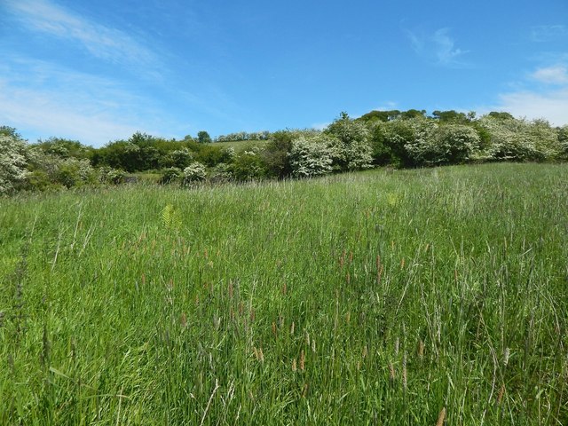
The line of the ditch of the Antonine Wall is receding directly from the photographer's position, but it is less apparent here than it is on the other side of NS5272 : Peel Glen.
The view is towards Peel Glen Road, which is just 40 metres ahead. On the other side (east) of that road, the line of the ditch is much easier to follow, since it coincides with a prominent line of trees.
The course of the Antonine Wall is marked on the map. See NS5272 : The course of the Antonine Wall for a view back along this part of the ditch, from further ahead, beside the road.
 Map © Crown Copyright")
TIP: Click the map for more Large scale mapping
- Grid Square
- NS5272, 74 images (more nearby 🔍)
- Photographer
- Lairich Rig (more nearby)
- Date Taken
- Friday, 12 June, 2015 (more nearby)
- Submitted
- Thursday, 2 July, 2015
- Subject Location
-
OSGB36:
 NS 5213 7254 [10m precision]
WGS84: 55:55.3882N 4:22.0798W - Camera Location
-
OSGB36: NS 5212 7253
- View Direction
- Northeast (about 45 degrees)