2015
SJ4509 : Valley of the Rea Brook, from the railway
taken 9 years ago, near to Hanwood, Shropshire, England
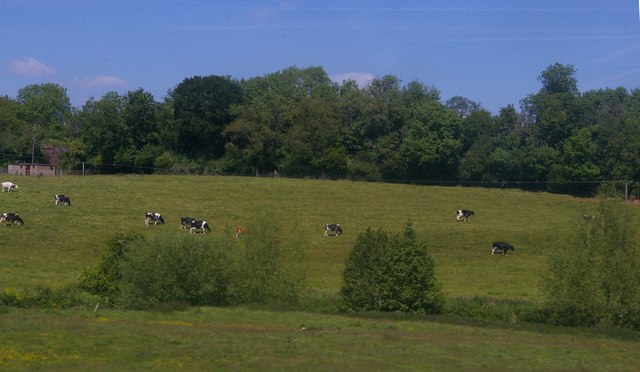
Valley of the Rea Brook, from the railway
 Map © Crown Copyright")
TIP: Click the map for more Large scale mapping
- Grid Square
- SJ4509, 24 images (more nearby 🔍)
- Photographer
- Christopher Hilton (more nearby)
- Date Taken
- Wednesday, 10 June, 2015 (more nearby)
- Submitted
- Monday, 6 July, 2015
- Subject Location
-
OSGB36:
 SJ 4543 0997 [10m precision]
WGS84: 52:41.0796N 2:48.5213W - Camera Location
-
OSGB36: SJ 4537 0985
- View Direction
- North-northeast (about 22 degrees)