2014
SH4785 : Road near Yr Arwydd
taken 10 years ago, near to Mynydd Bodafon, Isle of Anglesey/Sir Ynys Mon, Wales
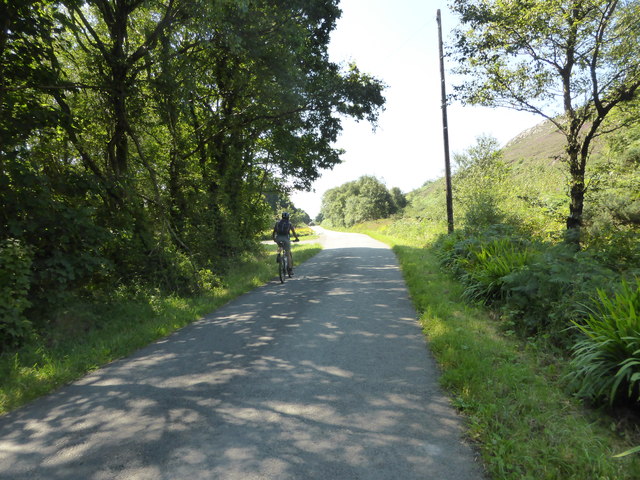
Road near Yr Arwydd
The junction on the left is the entrance to Plas Bodafon.
 Map © Crown Copyright")
TIP: Click the map for more Large scale mapping
- Grid Square
- SH4785, 24 images (more nearby 🔍)
- Photographer
- David Medcalf (more nearby)
- Date Taken
- Wednesday, 23 July, 2014 (more nearby)
- Submitted
- Monday, 6 July, 2015
- Subject Location
-
OSGB36:
 SH 4749 8546 [10m precision]
WGS84: 53:20.6391N 4:17.5406W - Camera Location
-
OSGB36: SH 4755 8556
- View Direction
- South-southwest (about 202 degrees)