2015
NS9757 : Hendry's Corse
taken 9 years ago, 3 km from Breich, West Lothian, Scotland
Hendry's Corse
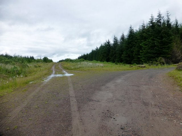
A track junction close to the possible summits for Hendry's Corse.
Name: Hendry's Corse [Hendreys Course]
Hill number: 7343
Height: 362m / 1188ft
Parent (Ma/M): 1809 East Cairn Hill
Section: 28A: Firth of Forth to the River Tweed
County/UA: South Lanarkshire (UA)
Class: Tump (300-399m), Subhump
Grid ref: NS973578 (est)
Drop: 95m
Col: 267m NT007571
Name: Hendry's Corse [Hendreys Course]
Hill number: 7343
Height: 362m / 1188ft
Parent (Ma/M): 1809 East Cairn Hill
Section: 28A: Firth of Forth to the River Tweed
County/UA: South Lanarkshire (UA)
Class: Tump (300-399m), Subhump
Grid ref: NS973578 (est)
Drop: 95m
Col: 267m NT007571
 Map © Crown Copyright")
TIP: Click the map for more Large scale mapping
- Grid Square
- NS9757, 12 images (more nearby 🔍)
- Photographer
- Rude Health (more nearby)
- Date Taken
- Sunday, 12 July, 2015 (more nearby)
- Submitted
- Sunday, 12 July, 2015
- Subject Location
-
OSGB36:
 NS 9726 5778 [10m precision]
WGS84: 55:48.1404N 3:38.4343W - Camera Location
-
OSGB36: NS 9724 5777
- View Direction
- Northeast (about 45 degrees)