2015
SX4271 : Pond, North Dimson
taken 9 years ago, near to Gunnislake, Cornwall, England
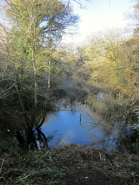
Pond, North Dimson
This must be a former mine working; it's adjacent to the bridge abutments shown in SX4271 : Bridge abutments, North Dimson.
 Map © Crown Copyright")
TIP: Click the map for more Large scale mapping
- Grid Square
- SX4271, 21 images (more nearby 🔍)
- Photographer
- Derek Harper (more nearby)
- Date Taken
- Wednesday, 4 March, 2015 (more nearby)
- Submitted
- Monday, 13 July, 2015
- Subject Location
-
OSGB36:
 SX 4252 7192 [10m precision]
WGS84: 50:31.5488N 4:13.3864W - Camera Location
-
OSGB36: SX 4251 7189
- View Direction
- North-northeast (about 22 degrees)