2015
SX6884 : Bridleway approaching Hurston
taken 9 years ago, near to Frenchbeer, Devon, England
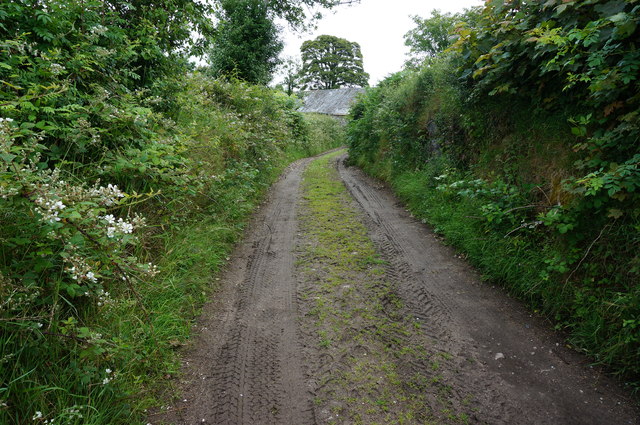
Bridleway approaching Hurston
With the roof of a farm building just coming into view above the hedge.
 Map © Crown Copyright")
TIP: Click the map for more Large scale mapping
- Grid Square
- SX6884, 21 images (more nearby 🔍)
- Photographer
- jeff collins (more nearby)
- Date Taken
- Wednesday, 15 July, 2015 (more nearby)
- Submitted
- Thursday, 16 July, 2015
- Subject Location
-
OSGB36:
 SX 6853 8409 [10m precision]
WGS84: 50:38.4976N 3:51.6413W - Camera Location
-
OSGB36: SX 6852 8408
- View Direction
- Northeast (about 45 degrees)