2015
SN6193 : Track beside the boatyard, Ynyslas, looking south
taken 9 years ago, near to Ynyslas, Ceredigion/Sir Ceredigion, Wales
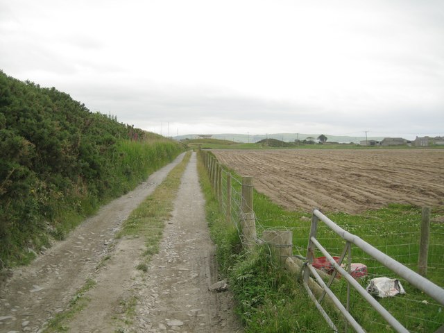
Track beside the boatyard, Ynyslas, looking south
It's very evident here that the boatyard is on higher ground that extends all along by the river. Guessing, this ground was formed from the excavation of the river channel. The bank is colonised by gorse and rough grasses. On the right is a ploughed field; the soil looks very clayey. The map says Ynys Tachwedd in this area.
 Map © Crown Copyright")
TIP: Click the map for more Large scale mapping
- Grid Square
- SN6193, 88 images (more nearby 🔍)
- Photographer
- Robin Stott (more nearby)
- Date Taken
- Friday, 26 June, 2015 (more nearby)
- Submitted
- Friday, 17 July, 2015
- Subject Location
-
OSGB36:
 SN 6156 9336 [10m precision]
WGS84: 52:31.2289N 4:2.5092W - Camera Location
-
OSGB36: SN 6155 9350
- View Direction
- SOUTH (about 180 degrees)