2015

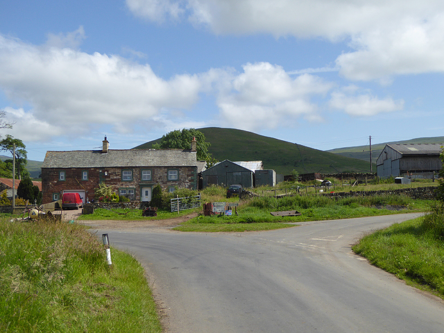
NY6727 : Road junction at the western end of Knock village

taken 9 years ago, near to Knock, Cumbria, England

Road junction at the western end of Knock village
The distinctive form of Knock Pike NY6828 beyond.

Creative Commons Licence [Some Rights Reserved]   © Copyright Oliver Dixon and licensed for reuse under this Creative Commons Licence.
Geographical Context: Uplands Housing, Dwellings Roads, Road transport Primary Subject: Road Junction other tags: Road Junction House Hill Click a tag, to view other nearby images.
This photo is linked from: Automatic Clusters: · Knock [14] · Knock Village [5] · Distinctive Form of Knock Pike NY6828 [2] · Road [2] ·
1:50,000 Modern Day Landranger(TM) Map © Crown Copyright
+
+
1:50,000 Modern Day Landranger(TM) Map © Crown Copyright
TIP: Click the map for more Large scale mapping
Grid Square
NY6727, 17 images   (more nearby 🔍)
Photographer
Oliver Dixon   (more nearby)
Date Taken
Wednesday, 15 July, 2015   (more nearby)
Submitted
Saturday, 18 July, 2015
Subject Location
OSGB36: geotagged! NY 6788 2713 [10m precision]
WGS84: 54:38.2956N 2:29.9495W
Camera Location
OSGB36: geotagged! NY 67855 27080
View Direction
North-northeast (about 22 degrees)
Clickable map
+
NW N NE
W Go E
SW S SE
Image classification(about): Geograph
This page has been viewed about 37 times
You are not logged in login | register