2015
SO6869 : Farmland at Lindridge
taken 9 years ago, near to Lindridge, Worcestershire, England
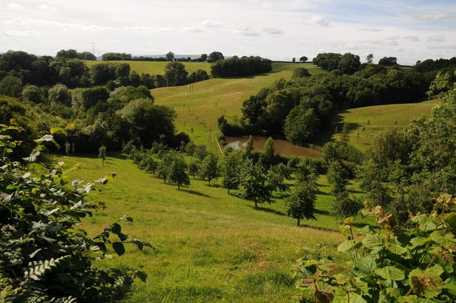
Farmland at Lindridge
Farmland between Lindridge and Frith Common.
 Map © Crown Copyright")
TIP: Click the map for more Large scale mapping
- Grid Square
- SO6869, 27 images (more nearby 🔍)
- Photographer
- Philip Halling (more nearby)
- Date Taken
- Saturday, 18 July, 2015 (more nearby)
- Submitted
- Monday, 20 July, 2015
- Subject Location
-
OSGB36:
 SO 6825 6969 [10m precision]
WGS84: 52:19.4629N 2:28.0363W - Camera Location
-
OSGB36: SO 6832 6968
- View Direction
- WEST (about 270 degrees)