2015
NS5272 : The course of the Antonine Wall
taken 9 years ago, near to Bearsden, East Dunbartonshire, Scotland
This is 1 of 4 images, with title The course of the Antonine Wall in this square
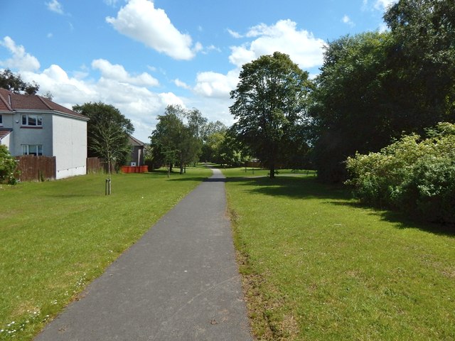
The course of the Antonine Wall
The path and the open space beside it preserve the line of the Antonine Wall. The picture was taken from a point 200m further along the path shown in NS5272 : The course of the Antonine Wall, but the view is in the opposite direction.
 Map © Crown Copyright")
TIP: Click the map for more Large scale mapping
- Grid Square
- NS5272, 74 images (more nearby 🔍)
- Photographer
- Lairich Rig (more nearby)
- Date Taken
- Friday, 3 July, 2015 (more nearby)
- Submitted
- Friday, 24 July, 2015
- Subject Location
-
OSGB36:
 NS 5277 7267 [10m precision]
WGS84: 55:55.4700N 4:21.4701W - Camera Location
-
OSGB36: NS 5271 7268
- View Direction
- EAST (about 90 degrees)