2015
H4342 : Raw Road, Derrycullion
taken 9 years ago, 5 km ENE of Brookeborough, Co Fermanagh, Northern Ireland
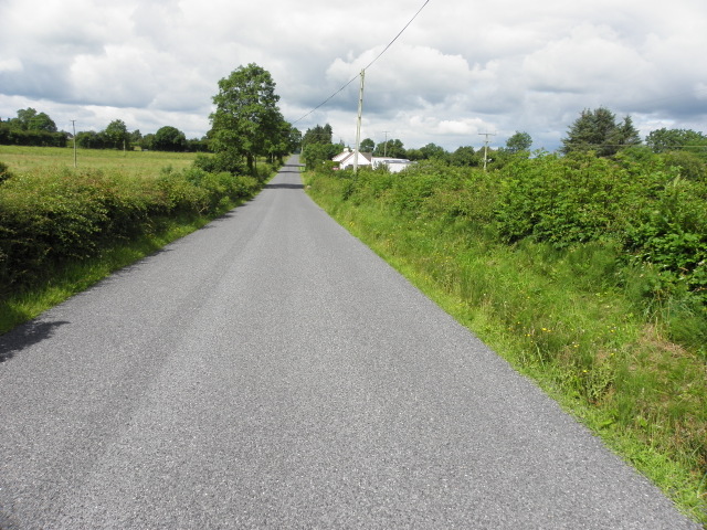
Raw Road, Derrycullion
Heading east
Loading map... (JavaScript required)
- Grid Square
- H4342, 3 images (more nearby 🔍)
- Photographer
- Kenneth Allen (more nearby)
- Date Taken
- Tuesday, 28 July, 2015 (more nearby)
- Submitted
- Tuesday, 28 July, 2015
- Subject Location
-
Irish:
 H 433 425 [100m precision]
WGS84: 54:19.7699N 7:20.1023W - Camera Location
-
Irish: H 432 425
- View Direction
- EAST (about 90 degrees)