2015
NG8843 : Allt a Chùirn
taken 9 years ago, 3 km from Kirkton, Highland, Scotland
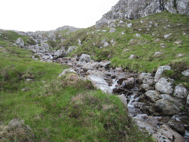
Allt a Chùirn
 Map © Crown Copyright")
TIP: Click the map for more Large scale mapping
- Grid Square
- NG8843, 4 images (more nearby 🔍)
- Photographer
- Chris Wimbush (more nearby)
- Date Taken
- Monday, 20 July, 2015 (more nearby)
- Submitted
- Thursday, 30 July, 2015
- Subject Location
-
OSGB36:
 NG 8885 4331 [10m precision]
WGS84: 57:25.8539N 5:31.1437W - Camera Location
-
OSGB36: NG 8879 4323
- View Direction
- Northeast (about 45 degrees)