2015
ST7966 : Dovers Lane
taken 9 years ago, near to Bathford, Bath And North East Somerset, England
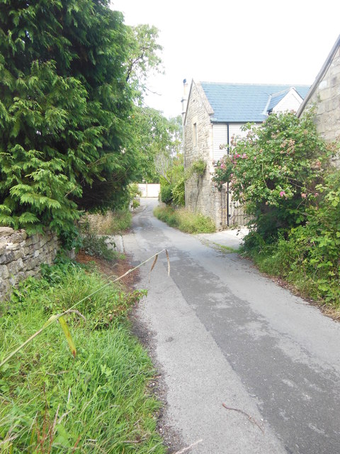
Dovers Lane
Just off Bathford Hill with its shop and houses is this very rural lane.
 Map © Crown Copyright")
TIP: Click the map for more Large scale mapping
- Grid Square
- ST7966, 36 images (more nearby 🔍)
- Photographer
- HelenK (more nearby)
- Date Taken
- Thursday, 30 July, 2015 (more nearby)
- Submitted
- Friday, 31 July, 2015
- Subject Location
-
OSGB36:
 ST 7918 6680 [10m precision]
WGS84: 51:23.9907N 2:18.0402W - Camera Location
-
OSGB36: ST 7923 6677
- View Direction
- West-northwest (about 292 degrees)