2015
TQ8209 : Crown Lane
taken 9 years ago, near to Hastings, East Sussex, England
This is 1 of 4 images, with title Crown Lane in this square
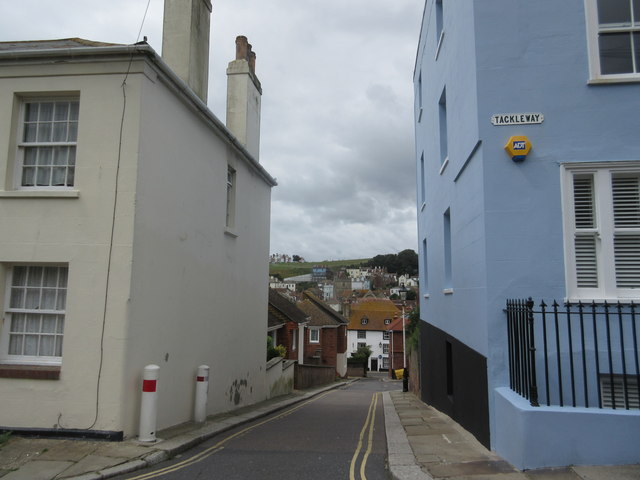
Crown Lane
This lane leads from Tackleway (road) to All Saints Road.
 Map © Crown Copyright")
TIP: Click the map for more Large scale mapping
- Grid Square
- TQ8209, 4355 images (more nearby 🔍)
- Photographer
- David Anstiss (more nearby)
- Date Taken
- Tuesday, 28 July, 2015 (more nearby)
- Submitted
- Friday, 31 July, 2015
- Subject Location
-
OSGB36:
 TQ 8264 0955 [10m precision]
WGS84: 50:51.3973N 0:35.6149E - Camera Location
-
OSGB36: TQ 8267 0954
- View Direction
- West-northwest (about 292 degrees)