2015
NC0205 : Meall nan Gabhar
taken 9 years ago, near to Polglass, Highland, Scotland
This is 1 of 4 images, with title Meall nan Gabhar in this square
Meall nan Gabhar
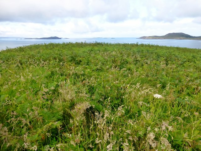
Landed NE corner of Horse Island, then easy low-tide crossing to Goat Island. Little easy scramble up a gully then grassy ascent.
Name: Meall nan Gabhar
Hill number: 10082
Height: 51m / 167ft
Parent (Ma/M): none
Section: 16F: Lochinver to Ullapool
County/UA: Highland (UA)
Island: Mono Tump island (t)
Maritime Area: Gruinard & The Summer Isles
Class: Tump (0-99m), SIB
Grid ref: NC 02225 05486
Summit feature: no feature: grass and bracken
Drop: 50m
Col: 1m NC022053
 Map © Crown Copyright")
TIP: Click the map for more Large scale mapping
- Grid Square
- NC0205, 5 images (more nearby 🔍)
- Photographer
- Rude Health (more nearby)
- Date Taken
- Saturday, 25 July, 2015 (more nearby)
- Submitted
- Saturday, 1 August, 2015
- Subject Location
-
OSGB36:
 NC 02225 05486 [1m precision]
WGS84: 57:59.6673N 5:20.8694W - Camera Location
-
OSGB36: NC 0224 0548
- View Direction
- WEST (about 270 degrees)