2015
NZ5712 : Roseberry Topping
taken 9 years ago, near to Newton Under Roseberry, Redcar And Cleveland, England
This is 1 of 22 images, with title Roseberry Topping in this square
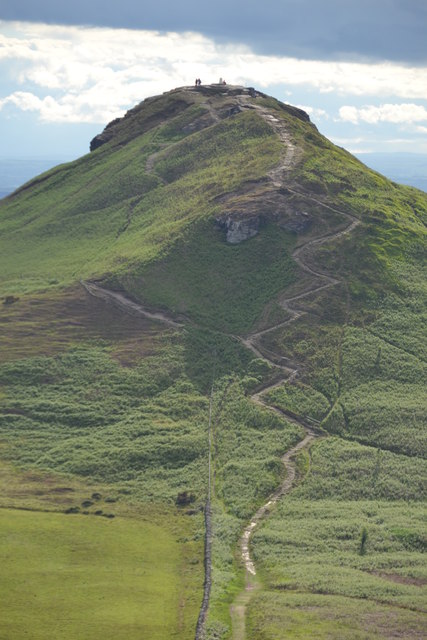
Roseberry Topping
Distant view of Roseberry Topping near to Newton Under Roseberry, Redcar And Cleveland.
 Map © Crown Copyright")
TIP: Click the map for more Large scale mapping
- Grid Square
- NZ5712, 196 images (more nearby 🔍)
- Photographer
- Keith Evans (more nearby)
- Date Taken
- Sunday, 21 June, 2015 (more nearby)
- Submitted
- Sunday, 2 August, 2015
- Subject Location
-
OSGB36:
 NZ 5791 1261 [10m precision]
WGS84: 54:30.3304N 1:6.4321W - Camera Location
-
OSGB36: NZ 5863 1274
- View Direction
- WEST (about 270 degrees)