2015
SN1014 : A478 ascends into Narberth
taken 9 years ago, near to Narberth, Pembrokeshire/Sir Benfro, Wales
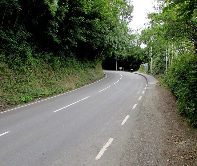
A478 ascends into Narberth
Looking towards the bend opposite the Mill Lane junction.
 Map © Crown Copyright")
TIP: Click the map for more Large scale mapping
- Grid Square
- SN1014, 287 images (more nearby 🔍)
- Photographer
- Jaggery (more nearby)
- Date Taken
- Friday, 31 July, 2015 (more nearby)
- Submitted
- Monday, 3 August, 2015
- Subject Location
-
OSGB36:
 SN 1085 1423 [10m precision]
WGS84: 51:47.6791N 4:44.6577W - Camera Location
-
OSGB36: SN 1081 1418
- View Direction
- Northeast (about 45 degrees)