2015
SX5470 : Crossways
taken 9 years ago, near to Walkhampton, Devon, England
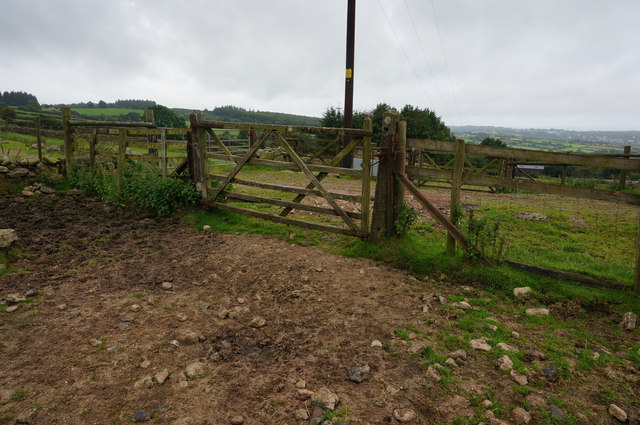
Crossways
At this point the path heading close by Horseyeatt crosses the dismantled trackbed of the Yelverton to Princetown line. The trackbed runs left to right.
 Map © Crown Copyright")
TIP: Click the map for more Large scale mapping
- Grid Square
- SX5470, 39 images (more nearby 🔍)
- Photographer
- jeff collins (more nearby)
- Date Taken
- Wednesday, 5 August, 2015 (more nearby)
- Submitted
- Tuesday, 11 August, 2015
- Subject Location
-
OSGB36:
 SX 5479 7036 [10m precision]
WGS84: 50:30.8982N 4:2.9710W - Camera Location
-
OSGB36: SX 5480 7036
- View Direction
- West-southwest (about 247 degrees)