2015
NO0207 : Junction On Forestry Track
taken 9 years ago, 4 km NE of Glendevon, Perth And Kinross, Scotland
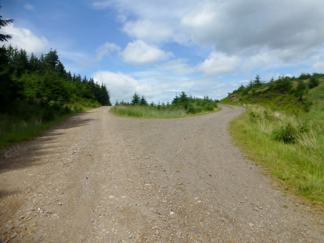
Junction On Forestry Track
I took the right fork at this junction en route to Innerdouny Hill.
 Map © Crown Copyright")
TIP: Click the map for more Large scale mapping
- Grid Square
- NO0207, 17 images (more nearby 🔍)
- Photographer
- Rude Health (more nearby)
- Date Taken
- Wednesday, 22 July, 2015 (more nearby)
- Submitted
- Tuesday, 11 August, 2015
- Subject Location
-
OSGB36:
 NO 0218 0755 [10m precision]
WGS84: 56:15.0215N 3:34.8167W - Camera Location
-
OSGB36: NO 0217 0754
- View Direction
- North-northeast (about 22 degrees)