2015
NH8450 : Cawdor Burn
taken 9 years ago, near to Cawdor, Highland, Scotland
This is 1 of 2 images, with title Cawdor Burn in this square
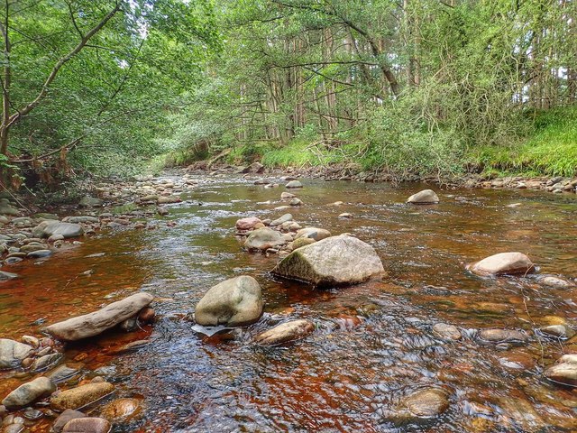
Cawdor Burn
 Map © Crown Copyright")
TIP: Click the map for more Large scale mapping
- Grid Square
- NH8450, 33 images (more nearby 🔍)
- Photographer
- Mick Garratt (more nearby)
- Date Taken
- Thursday, 13 August, 2015 (more nearby)
- Submitted
- Thursday, 13 August, 2015
- Subject Location
-
OSGB36:
 NH 8449 5066 [10m precision]
WGS84: 57:31.8775N 3:55.8475W - Camera Location
-
OSGB36: NH 8448 5067
- View Direction
- South-southeast (about 157 degrees)