2015
SX3559 : Cornwall : The A38
taken 9 years ago, near to Tideford, Cornwall, England
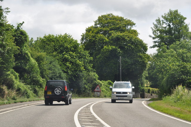
Cornwall : The A38
The A38 heads through the county of Cornwall.
 Map © Crown Copyright")
TIP: Click the map for more Large scale mapping
- Grid Square
- SX3559, 19 images (more nearby 🔍)
- Photographer
- Lewis Clarke (more nearby)
- Date Taken
- Friday, 17 July, 2015 (more nearby)
- Submitted
- Friday, 14 August, 2015
- Subject Location
-
OSGB36:
 SX 3527 5994 [10m precision]
WGS84: 50:24.9701N 4:19.2016W - Camera Location
-
OSGB36: SX 35265 59951
- View Direction
- East-southeast (about 112 degrees)