2015
TQ4262 : Farthing Street at the junction of Rookery Road
taken 9 years ago, near to Downe, Bromley, England
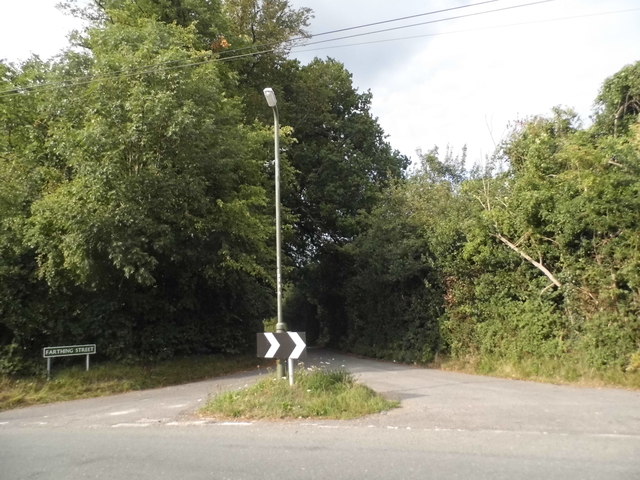
Farthing Street at the junction of Rookery Road
 Map © Crown Copyright")
TIP: Click the map for more Large scale mapping
- Grid Square
- TQ4262, 50 images (more nearby 🔍)
- Photographer
- David Howard (more nearby)
- Date Taken
- Monday, 17 August, 2015 (more nearby)
- Submitted
- Tuesday, 18 August, 2015
- Subject Location
-
OSGB36:
 TQ 4292 6249 [10m precision]
WGS84: 51:20.6120N 0:3.0371E - Camera Location
-
OSGB36: TQ 4291 6248
- View Direction
- Northeast (about 45 degrees)